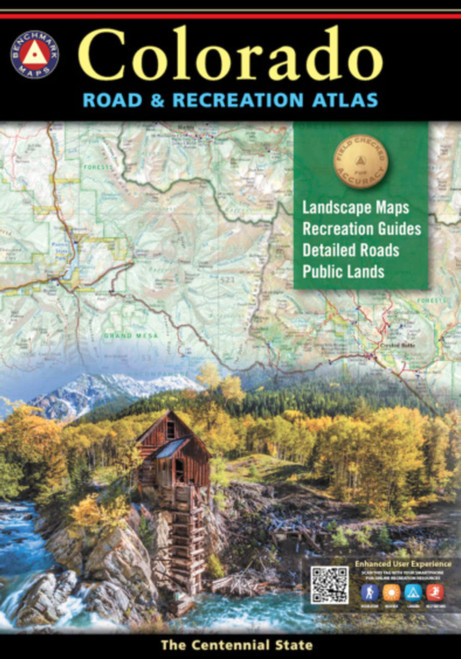
7th Edition 2020. ISBN 978-0-929591-44-5 / 0929591445 Benchmarks Colorado Road & Recreation Atlas is designed to help residents and visitors make the most of Colorados endless recreation opportunities. The recreation guide includes lists of attractions, trailheads, fishing spots, historic sites, and much more throughout the state. The Landscape Maps show all drivable roads, classed by surface and purpose. Large-scale metro maps of Denver, Boulder, and Colorado Springs are also included. Fully updated recreation and index listings Landscape Maps include US Forest Service land ownership with private land in-holdings. Regional map of Colorados famed 14ers (peaks above 14,000 feet) with elevation rankings and nearby trails and snow parks. Updated Denver metro maps with new light rail lines. Maps Scales: Landscape Maps 1:200,000 (statewide) Recreation Maps 1:500,000 (Eastern CO 1:1,350,000) 7th Edition 2020. ISBN 978-0-929591-44-5
Colorado Road & Recreation Atlas (Benchmark Recreation Atlases)
Benchmark Maps
MSRP:
Was:
Now:
$24.03 - $35.42
(You save
)
(No reviews yet)
Write a Review
Write a Review

Benchmark Maps
Colorado Road & Recreation Atlas (Benchmark Recreation Atlases)
- SKU:
- UPC:
- 9780929591445
- Maximum Purchase:
- 2 units
- Binding:
- Map
- Publication Date:
- 1/10/2019
- Author:
- Benchmark Maps and Atlases
- Language:
- English: Published; English: Original Language; English
- Edition:
- 2020
- Pages:
- 144
Benchmark Maps
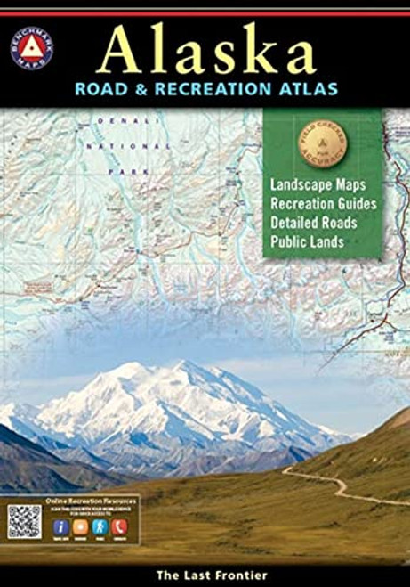
Alaska Road & Recreation Atlas (Benchmark Recreation Atlases)
MSRP:
Was:
Now:
$30.63 - $41.10
Benchmark Maps
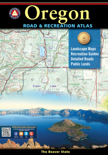
Oregon Road & Recreation Atlas (Benchmark Recreation Atlases)
MSRP:
Was:
Now:
$23.25 - $35.22
Benchmark Maps
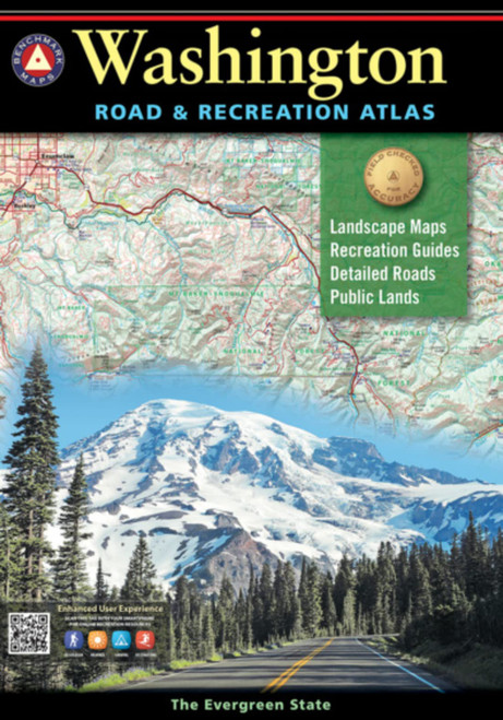
Washington Road & Recreation Atlas (Benchmark Recreation Atlases)
MSRP:
Was:
Now:
$26.47 - $35.04
Benchmark Maps
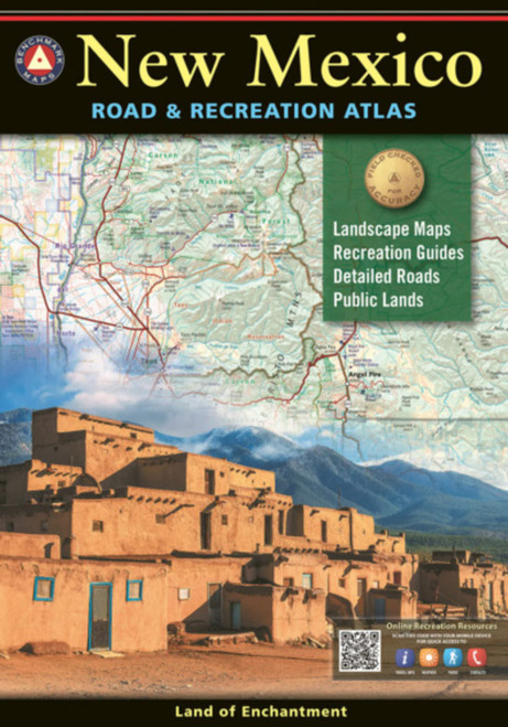
New Mexico Road & Recreation Atlas (Benchmark Recreation Atlases)
MSRP:
Was:
Now:
$32.43 - $45.23

Colorado Recreational Road Atlas
MSRP:
Was:
Now:
$54.71 - $300.00
!


