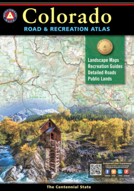
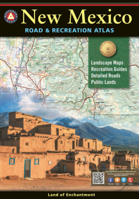
State- and county-specific indispensable information for year-round outdoors and tourist activity across Minnesota: biking, hiking, camping, boating, golfing, sightseeing, ....
This over-sized Minnesota Highway and Recreational Atlas includes location maps, historical site index, campground index, wildlife management area index, cities index, road index, and major Minnesota city road index.
Shows county-by-county trails for ATVs, biking, and snowmobiling; fishing piers, accesses, trout streams; state forests, parks and campgrounds; areas of wildlife management and waterfowl protection; and public golf courses.
Dimensions: 11.25 x 15.5 x .6 . Illustrated in color. Indexed with GPS Grid. 198 pp.


