This map covers all of Marin County's parks except for the Point Reyes and Novato areas. One side shows the Marin Headlands, Mount Tamalpais, and Muir Woods, with an inset of China Camp State Park; the other side shows the Marin Municipal Water District's Mount Tamalpais Watershed, Pine Mountain, the San Geronimo Valley, Samuel P. Taylor State Park, and Lucas Valley. All official hiking trails were drawn from newly-acquired GPS data with a resolution of about 100 feet. Memorial grove markers, footbridges, panoramic viewpoints, and stairs are shown. Most roads are shown and labeled. In addition, unofficial trails and dirt roads are shown and are greyed out to distinguish them from official hiking trails. We don't recommend that you use these trails, but if you accidentally wander onto one, having it on the map will help you get back on track. Wooded areas are indicated in green, old-growth redwoods in dark green, developed areas in grey, and 40 foot contour lines are shown. Trail distances are marked and a UTM grid is provided to help with GPS navigation. Scale 1:25,000 26 x 39 inches unfolded, 9 x 4.3 inches folded Printed on waterproof plastic Full color on both sides
Mount Tamalpais, Bay Area Trail Map
MSRP:
Was:
Now:
$24.42 - $29.21
(You save
)
- SKU:
- UPC:
- 9781934127339
- Maximum Purchase:
- 3 units
- Binding:
- Map
- Publication Date:
- 2017-01-04
- Author:
- Redwood Hikes Press
- Language:
- english
- Edition:
- First Edition, 2017

Rand McNally
Folded Map: San Francisco Bay Area Folded Regional Map
MSRP:
Was:
Now:
$300.00 - $387.67

Trails of Mt. Tamalpais, Muir Woods and the Marin Headlands
MSRP:
Was:
Now:
$16.04 - $20.03

Natl Geographic Society Maps
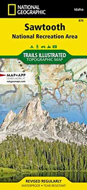
Sawtooth National Recreation Area Map (National Geographic Trails Illustrated Map, 870)
MSRP:
Was:
Now:
$22.29 - $25.14
![Mount Rogers National Recreation Area [Jefferson National Forest] (National Geographic Trails Illustrated Map) Mount Rogers National Recreation Area [Jefferson National Forest] (National Geographic Trails Illustrated Map)](https://cdn11.bigcommerce.com/s-rr0pkl7rnl/images/stencil/500x659/products/157519/307288/51U9vIA025L__73387.1727900015.jpg?c=1)
NATIONAL GEOGRAPHIC
Mount Rogers National Recreation Area [Jefferson National Forest] (National Geographic Trails Illustrated Map)
MSRP:
Was:
Now:
$22.15 - $34.36
![Mount Baker and Boulder River Wilderness Areas Map [Mt. Baker-Snoqualmie National Forest] (National Geographic Trails Illustrated Map, 826) Mount Baker and Boulder River Wilderness Areas Map [Mt. Baker-Snoqualmie National Forest] (National Geographic Trails Illustrated Map, 826)](https://cdn11.bigcommerce.com/s-rr0pkl7rnl/images/stencil/500x659/products/38413/77801/51fk8AInlvL__24700.1706184981.jpg?c=1)
Natl Geographic Society Maps
Mount Baker and Boulder River Wilderness Areas Map [Mt. Baker-Snoqualmie National Forest] (National Geographic Trails Illustrated Map, 826)
MSRP:
Was:
Now:
$22.29 - $25.14

National Geographic Maps
Collegiate Peaks Wilderness Area (National Geographic Trails Illustrated Map)
MSRP:
Was:
Now:
$30.82 - $36.41

National Geographic Maps
Desolation and Granite Chief Wilderness Areas (National Geographic Trails Illustrated Map)
MSRP:
Was:
Now:
$30.82 - $36.41
![Appalachian Trail, Hanover to Mount Carlo [New Hampshire] (National Geographic Trails Illustrated Map) Appalachian Trail, Hanover to Mount Carlo [New Hampshire] (National Geographic Trails Illustrated Map)](https://cdn11.bigcommerce.com/s-rr0pkl7rnl/images/stencil/500x659/products/175863/344554/51FnsuMZJSL__56268.1727943307.jpg?c=1)
NATIONAL GEOGRAPHIC
Appalachian Trail, Hanover to Mount Carlo [New Hampshire] (National Geographic Trails Illustrated Map)
MSRP:
Was:
Now:
$26.05 - $31.98

NATIONAL GEOGRAPHIC
Mount Rainier National Park (National Geographic Trails Illustrated Map)
MSRP:
Was:
Now:
$24.71 - $34.52
!

