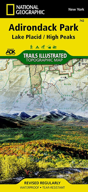
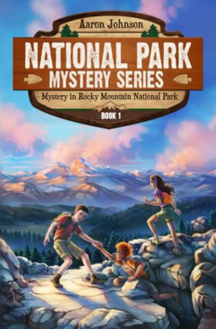
Waterproof & Tear Tough. Two detailed large scale 1:40,000 scale topographic maps cover the alpine terrain northwest of Denver & Boulder, with extensive trail descriptions, trail ratings, newly named peaks, shaded relief, backcountry info & full UTM grid for use with GPS.
Noteworthy points mapped include Longs Pk, McHenrys Pk, Flattop Mtn, Bear Lake, Estes Park, Moraine Park, Glacier Basin, Arapaho Glacier, Jasper Lake, Nederland, Rollinsville, Tollland, Wild Basin, Rollins Pass, Brainard Lake, St Vrain Glaciers, and much more. Please note this map covers about 45% of RMNP: the south eastern portion, the most popular part. 5th Edition has brand new shaded relief that looks great, and every switchback is mapped in eye pleasing clarity.


![Superstition and Four Peaks Wilderness Areas Map [Tonto National Forest] (National Geographic Trails Illustrated Map, 851) Superstition and Four Peaks Wilderness Areas Map [Tonto National Forest] (National Geographic Trails Illustrated Map, 851)](https://cdn11.bigcommerce.com/s-rr0pkl7rnl/images/stencil/500x659/products/59906/117662/51hZsIU_OeL__06104.1706226480.jpg?c=1)
![Great Smoky Mountains National Park [Map Pack Bundle] (National Geographic Trails Illustrated Map) Great Smoky Mountains National Park [Map Pack Bundle] (National Geographic Trails Illustrated Map)](https://cdn11.bigcommerce.com/s-rr0pkl7rnl/images/stencil/500x659/products/71223/139150/819-h2hQ2aL__79993.1706249747.jpg?c=1)


