The main map is a Van der Grinten projection, which is a fair compromise between preservation of actual shapes, with less distortion of relative sizes than the Mercator projection. Details show major cities, railways, rivers, peaks (with elevations in meters), and ocean depths (also shown in meters), and each nation is clearly distinguished with color tints. Mountainous regions are indicated with shaded relief. For the scale of the map, the size of the print is larger than most other world maps, a feature which makes the labels easier to read. Clocks across the top show the world's approximate time zones. Because it omits the Antarctic region, the map shows the Equator top of center. Whats Up? South! offers a startling way to view the world, and a great way to shake people up and help them question their assumptions. For more details on the What's Up? South! Map visit ODTmaps.com and click on the link, BEHIND THE MAPS located in the left hand toolbar
Whats Up? South! World Map (2x3') folded paper
MSRP:
Was:
Now:
$300.00
(You save
)
- SKU:
- UPC:
- 9781931057301
- Maximum Purchase:
- 3 units
- Binding:
- Map
- Publication Date:
- 2010-04-27
- Author:
- ODTmaps.com
- Language:
- english
- Edition:
- 24 x 36 inches- Paper folded

McArthur's Universal Corrective World Map paper folded version
MSRP:
Was:
Now:
$300.00

World Down Under Map of the World #161 UBD (Folded)
MSRP:
Was:
Now:
$300.00

Rand McNally
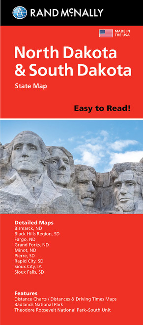
Rand McNally Easy To Read Folded Map: North Dakota, South Dakota State Map
MSRP:
Was:
Now:
$14.89 - $18.69

Rand McNally Easy To Fold: South Carolina State Laminated Map
MSRP:
Was:
Now:
$300.00

National Geographic Maps
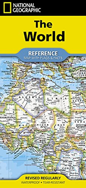
National Geographic World Map (folded with flags and facts) (National Geographic Reference Map)
MSRP:
Was:
Now:
$20.58 - $26.34

Folded Map: Orlando Street Map
MSRP:
Was:
Now:
$300.00
!


