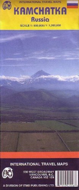
Double sided travel map of the Kamchatka Peninsula, Russia, covers the southern part at the scale of 1:800,000 and the northern part at the scale of 1:1,200,000. Includes insets with an overview plan of Petropavlovsk-Kamchatsky, Geysers Valley 1:8,000, Commander Islands, and a map of administrative division of Kamchatka Region. Color changes show elevations. Distinguishes roads from divided roads to other roads (4x4 advised) and iced roads, with distances in kilometers; sea ports; river stations; navigable rivers; airports; skiing, mountain climbing, hiking, fishing, rafting, diving, and other outdoor activities; sled-dog sport centers; helicopter excursion centers and routes; places of cultural interest; other places of interest; museums; caves; churches; accommodations; reindeer breeding camps; bird colonies, rare plants; seal nesting; more. With color photos; introduction to the land and people. Distances in kilometers. Authentic Russian cartography, legend and text information in English.
Kamchatka Peninsula 1:800,000 (Russia) Travel Map (Travel Reference Map)
$28.90 - $48.78
- UPC:
- 9781553415565
- Maximum Purchase:
- 2 units
- Binding:
- Map
- Publication Date:
- 2005-12-12
- Author:
- ITM Canada
- Language:
- english
- Edition:
- 1


